

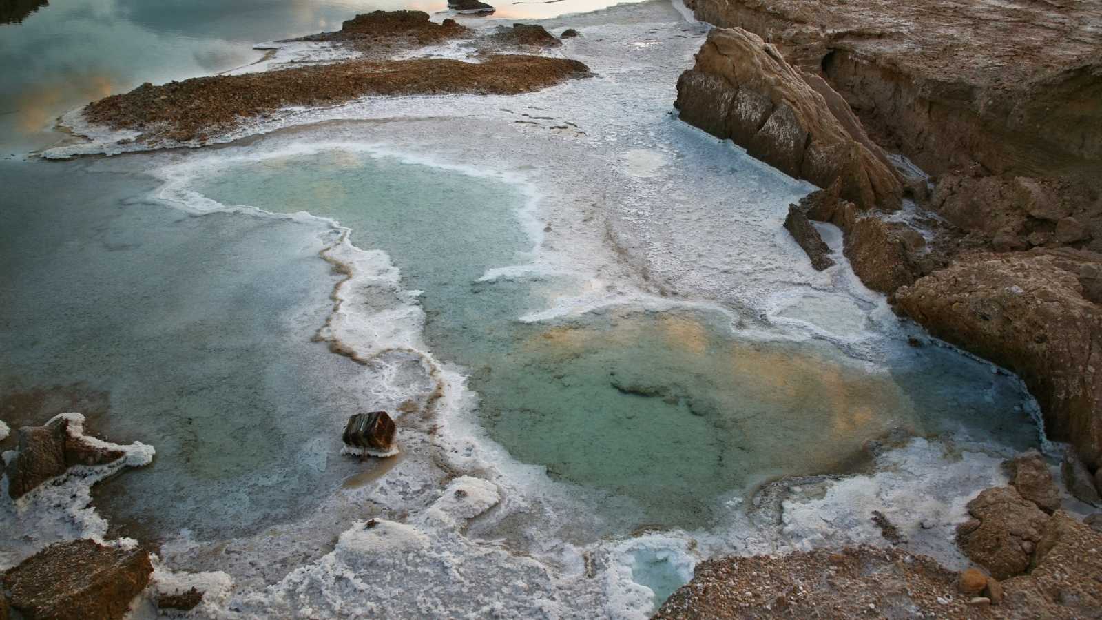
The lowest place on Earth is one of a kind. A unique topography and climate conditions created one of the most distinct places one can imagine – The Dead Sea. The area has long mystified adventurers, researchers, engineers, and business people.
For centuries, the history, mineral features, and healing powers of these salty lake waters have drawn visitors and entrepreneurs from throughout the globe. However, located at the lowest point on Earth and in a desert, the Dead Sea’s unique geography comes with its own set of water challenges. And on top of them all flash floods.
CHALLENGE
Most of the year, the area surrounding the Dead Sea is arid. Streams flowing into the Dead Sea can only be identified as a network of ravines crisscrossing the landscape, empty of any precipitation. But every winter, these streams fill with water.
Like many other arid places on Earth, rain is never gradual or predicted; instead, it pours in isolated events during the autumn and winter months. And when rainfall is heavy, the streams overflow and flood roads, infrastructure, and any object in the water’s path.
The extreme fluctuation between completely dry and overcome by floods occurs in minutes. Local authorities searched for a solution that provides real-time data to limit the devastation and, in some cases, even saves lives. Early warning systems in this volatile area make all the difference in life or death, destruction or preservation.
THE SOLUTION
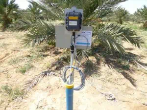
The Ayyeka solution is deployed to continuously monitor rain and water levels in dozens of locations throughout the Dead Sea region. Both in the desert canyons and the surrounding land. A rugged device designed to withstand any environment, the Ayyeka Wavelet is a fully autonomous system compatible with any sensor – one Wavelet device can connect to up to 12 separate sensors.
In the Dead Sea area, some Wavelets are used to monitor rain. The others monitor water levels and additional sensors such as conductivity and suspended solids to track water quality parameters relevant to many applications.
In streams dry most of the year, Ayyeka Wavelet devices measure rising water levels throughout the winter. The Ayyeka Wavelet transmits this measurement data to Ayyeka’s Field Assets Intelligence (FAI) software platform. Trends are detected and monitored in the FAI platform, and relevant alerts are created and disseminated to the system owner.
THE AYYEKA SOLUTION
Instant alerts sent from the Ayyeka solution create the required early warning system to prevent flooding disasters. During extreme rainfall, the Ayyeka solution registers when too much water is about to overflow and flood. When this critical threshold is reached, the field device pings the FAI platform to send an immediate notification.
Specifically, Wavelets are strategically placed close to the main highways to give emergency services enough time to clear the area before flooding occurs. Anytime the Ayyeka solution sends out a notification, local teams mobilize to provide a quick response and, if needed, clear the area of rocks and debris quickly.
In addition to acting as an early detection system for flooding, the solution provides two long-term benefits – hydraulic models calibration and water quality tracking:
- The rain and flow data create very accurate and localized hydraulic models. Over the years, researchers have applied insights generated by the Ayyeka solution to predict how much rainfall in one location leads to flooding in another area and enabled long-term planning of development and infrastructure utilization.
- Many Ayyeka Wavelets also connect to water quality sensors. Flooding in this area often brings untreated sewage to the iconic Dead Sea. Anytime extreme rain causes overflow, the Wavelet pings an automatic sampler to collect water for further analysis in the lab. Detecting pollutants in the water preserves public safety.