

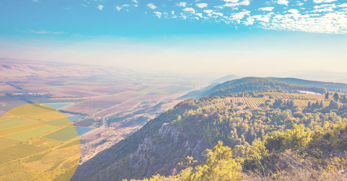
Located in Israel's northern region, the Harod Valley extends over 40 square kilometers, most of which are intensively cultivated. Land degradation, and pervasive soil erosion in the surrounding hill slopes, are serious problems for farmers in this region, resulting in substantial economic losses.
THE CHALLENGE: SOIL EROSION PLAGUES AGRICULTURE IN HAROD VALLEY
In recent decades, a joint effort of the Ministry of Agriculture & Rural Development and the Lower Jordan River Drainage Authority has advanced the implementation of various soil conservation measures by farmers. However, No one did not systematically assess their efficiency at the watershed scale. Therefore, in 2015, the Department of Soil Conservation and Drainage at the Ministry of Agriculture and Rural Development, the Southern Jordan River and Drainage Authority, and Ben Gurion University of the Negev initiated a study comparing two small, adjacent agricultural watersheds. The study aimed to compare the concentration of suspended sediment and the total sediment yield at the outlet of two watersheds, one where farmers implemented soil conservation practices and one where they were not.

THE PROJECT: GAUGING THE EFFECTIVENESS OF EROSION PREVENTION
For this study, the researchers, in collaboration with Yamma and Ayyeka, set up the required monitoring stations. The group envisioned a smart network to provide remote, real-time, and reliable data that would allow researchers to monitor the extent of soil erosion represented by water and sediment yields. The main requirements were cost-effectiveness, energy efficiency, reliability, and user-friendly systems. Moreover, the system had to interface with automatic sampling functions and be flexible enough to support the various sensors that would collect and transmit the data. An additional challenge was providing a strong, sturdy, and durable infrastructure that could be concealed in open areas and protected from natural elements, such as floods and vandalism.
THE SOLUTION: REMOTE, REAL-TIME, AND RELIABLE MONITORING OF EROSION
Several suitable sites for the deployment of monitoring stations were identified on the Harod River and its tributaries. With Ayekka's technology and know-how, Yamma staff could set up the smart network to suit the research needs, moving to the deployment phase in a relatively short time; the system was fully operational in 2015.
Ayyeka's integrated solution includes high-end sensors that deliver data (including SMS or e-mail alerts) from the field all year round: pressure and radar sensors monitor water levels, and a turbidity sensor enables the assessment of sediment concentration. The automatic sampler, a critical research tool needed for turbidity sensor calibration on site, smoothly communicates with the Ayyeka Wavelet. Stage monitoring and water velocity measurements allow the calculation of water discharge and total sediment yield.
The Wavelet's enclosure with IP68 / NEMA 6P waterproofing rating, an essential feature of Ayekka's units, eliminates the problem of detection or damage while ensuring full operation for many years to come. Furthermore, Ayyeka's kits are user-friendly and straightforward to maintain. Students responsible for the field research can carry out the regular maintenance work on-site (collecting the samples, cleaning and calibration the sensors, and changing batteries) alongside their overall field research activities.
An additional benefit of Ayyeka's solution is the critical data provided by Ayyeka's Wavelet units to the different stakeholders - The Drainage Authority, the water association, the water authorities, and the farmers; All seek to monitor water levels as well as flood levels as part of their regular operation.